
Smart routing that follows trails
Place your points: Trackisi automatically snaps the route to existing paths and offers several variants — trails, mixed or roads. Elevation profile and gain update live.
Route planning
Draw your routes on the map in a few clicks — from the app or the web editor on a big screen — then follow them on the ground or share them with the community.
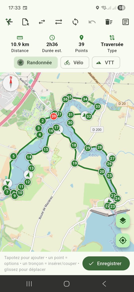
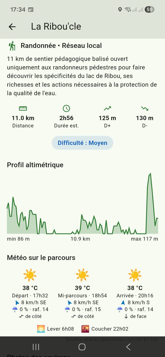
Place your points: Trackisi automatically snaps the route to existing paths and offers several variants — trails, mixed or roads. Elevation profile and gain update live.
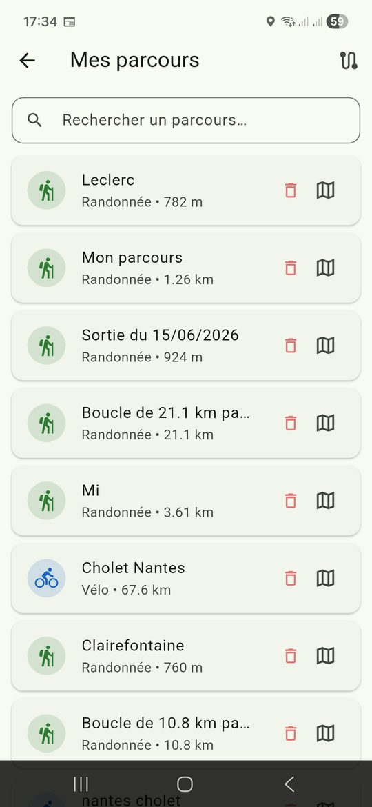
Plan your outings from your computer at trackisi.fr: mouse, large map, named points. Save to "My routes": they are synced to your phone, ready to go.
Add landmarks (spring, viewpoint, junction, parking) with a name and description. They appear during navigation so you never miss anything.
Keep your routes in your personal library, or publish them to the community to share them, with photos and description.
Can I create a route from a computer?
Yes, the web editor at trackisi.fr lets you plan on a big screen; your routes then sync to your phone.
Does the route follow paths?
Yes, the routing engine snaps the route to trails and roads according to your preference and calculates distance and elevation.
Discover also