
Reference map layers
Switch in one tap between the IGN plan (French trail detail), satellite view, OpenTopoMap with contour lines, and road map. Every activity — hiking, cycling, mountain biking — finds the right layer.
Mapping
The right map makes all the difference in the mountains. Trackisi brings together the best outdoor maps — IGN, satellite, topographic — and makes them available even without a network.
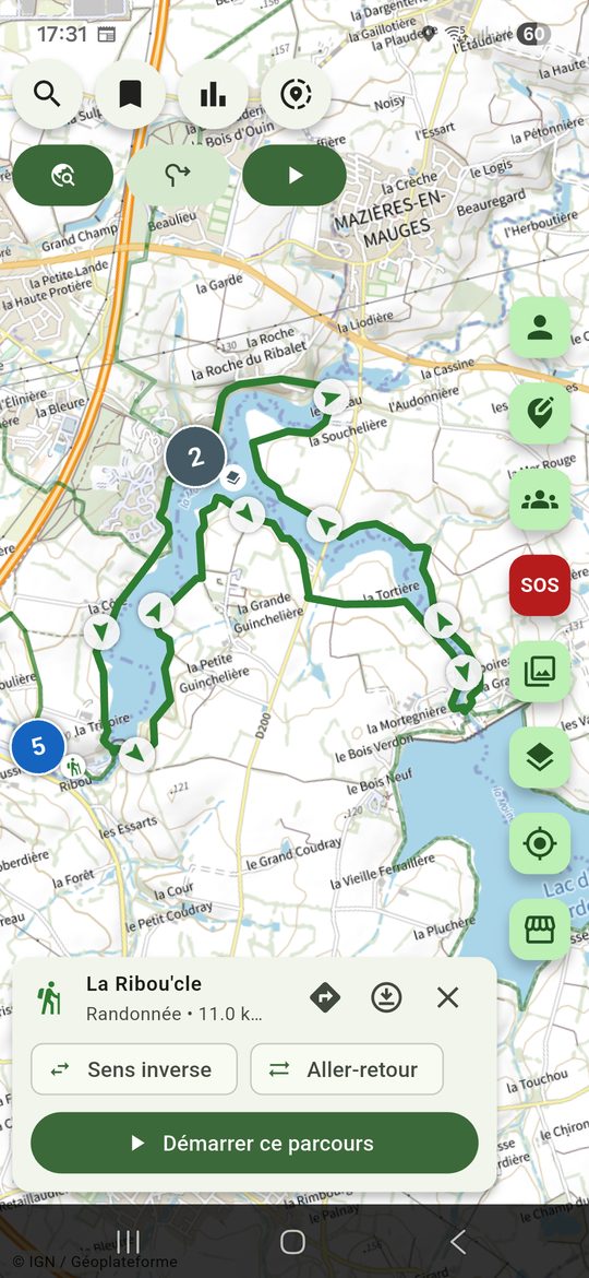
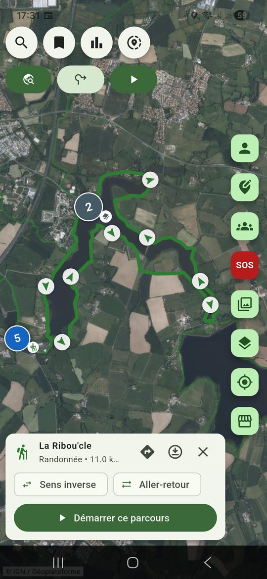
Switch in one tap between the IGN plan (French trail detail), satellite view, OpenTopoMap with contour lines, and road map. Every activity — hiking, cycling, mountain biking — finds the right layer.
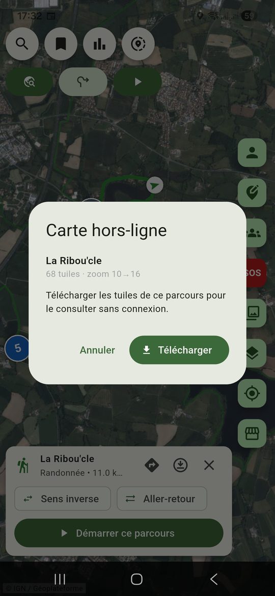
Download your outing area in advance. On the trail, Trackisi shows the map and your GPS position with no connection at all — no 4G, no Wi-Fi. Essential in mountains, forests or abroad to avoid roaming charges.
Your phone's GPS works without a network: paired with downloaded maps, you always know exactly where you are, where to go and how far is left — even deep in a valley.
Are IGN maps free?
Yes. Trackisi uses IGN Géoplateforme tiles, freely available in the app.
How do I hike without a network?
Before you leave, download the area of your route in the app. The map and your GPS position remain available offline.
Discover also